GIS Solutions That Bring Clarity to Complex Projects
We transform geographic data into clear, actionable intelligence—helping you plan, track, and execute projects with confidence.
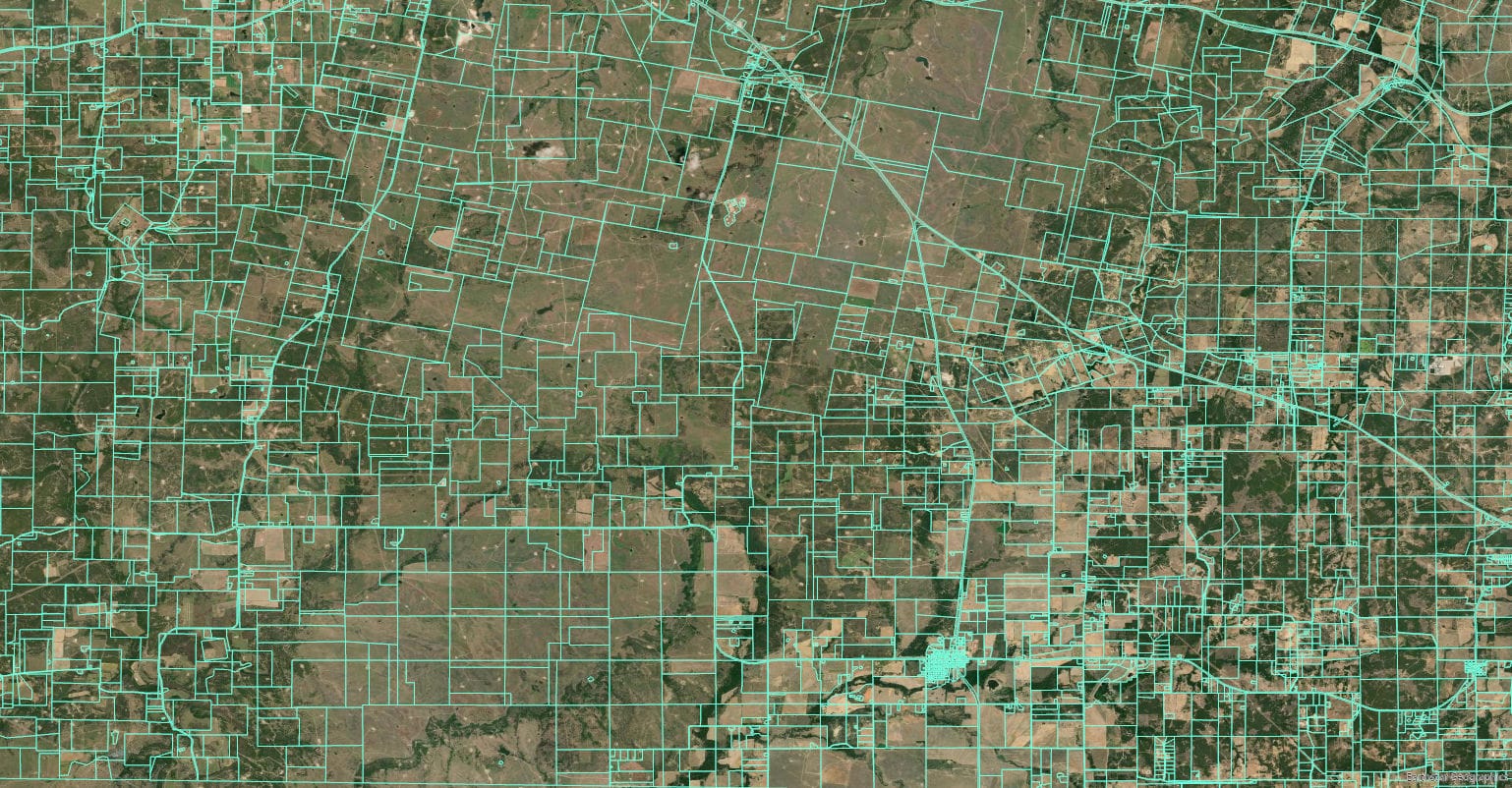
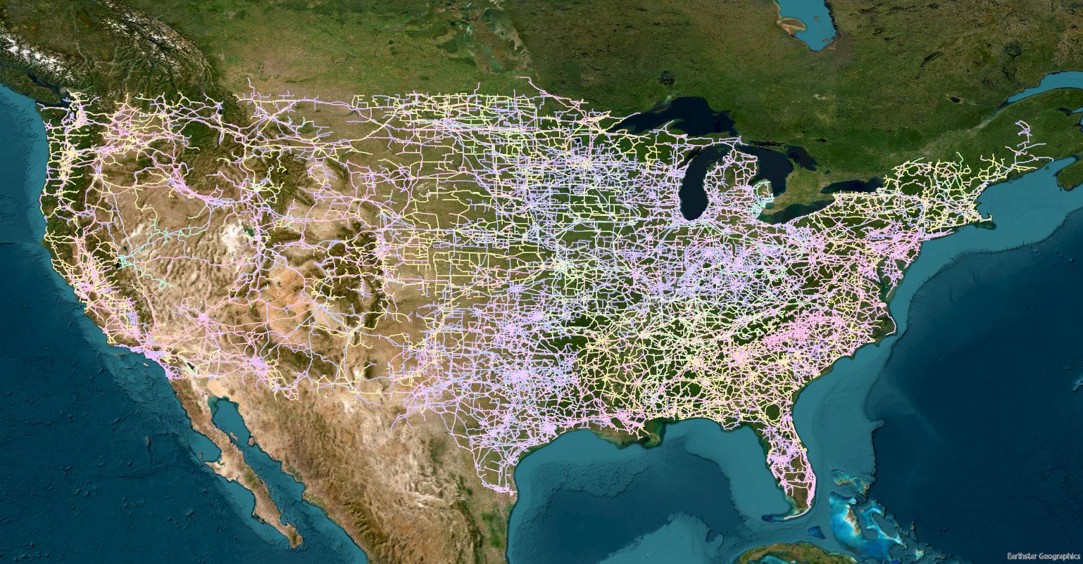
What’s Included in Our GIS Services
From data gathering to interactive mapping, we provide the geospatial insights that keep your team aligned and your project on course.
- Custom mapping and spatial analysis
- Parcel boundary and ownership overlays
- Right-of-way and easement visualization
- Environmental and regulatory mapping layers

Why GIS Can Accelerate Your Project
Without accurate, visual data, teams can waste time and resources chasing unclear information. Our GIS tools streamline decision-making and enhance communication across all stakeholders.

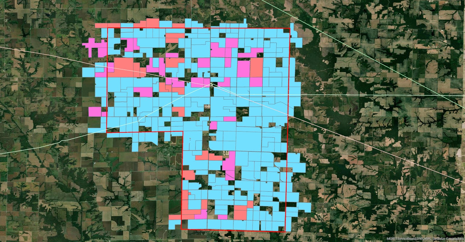
Real-Time Project Tracking
We developed an interactive GIS dashboard that allows the client to monitor acquisition progress in real time—saving weeks of reporting work.

Ready to Manage Your Data?
Let’s assess your GIS needs.